THE BULGE
Wider at the equator
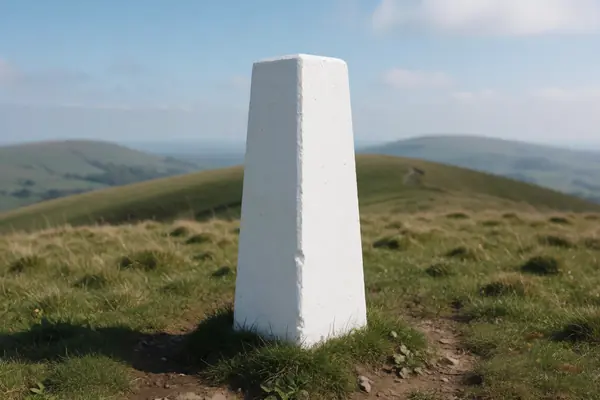
NASA gives Earth's equatorial radius as 6,378.137 km and its polar radius as 6,356.752 km. NOAA says the bulge comes from the long-term effect of the planet's rotation.
See the numbers doodleshape
THE SHAPE OF THE EARTH
The Earth is a little fatter at the equator than at the poles.
Its spin makes the equator bulge, and gravity makes sea level rise and dip from place to place. Those small differences decide which mountain top is farthest out and how the heights on your map are measured.
≈ 21 km wider at the equator
Compare heightsTHE SHORT ANSWER
Three layers of detail.
Each one matters for a different job.
THE BULGE
NASA gives Earth's equatorial radius as 6,378.137 km and its polar radius as 6,356.752 km. NOAA says the bulge comes from the long-term effect of the planet's rotation.
See the numbersTHE BUMPS
Gravity is slightly stronger in some places. NOAA explains that a still ocean would settle into an undulating surface called the geoid, which defines zero height.
Heights on mapsTHE FIRST MEASURE
Around 220 BCE Eratosthenes compared noon shadows at Alexandria and Syene and worked out the size of the Earth using an angle and a distance.
Follow the method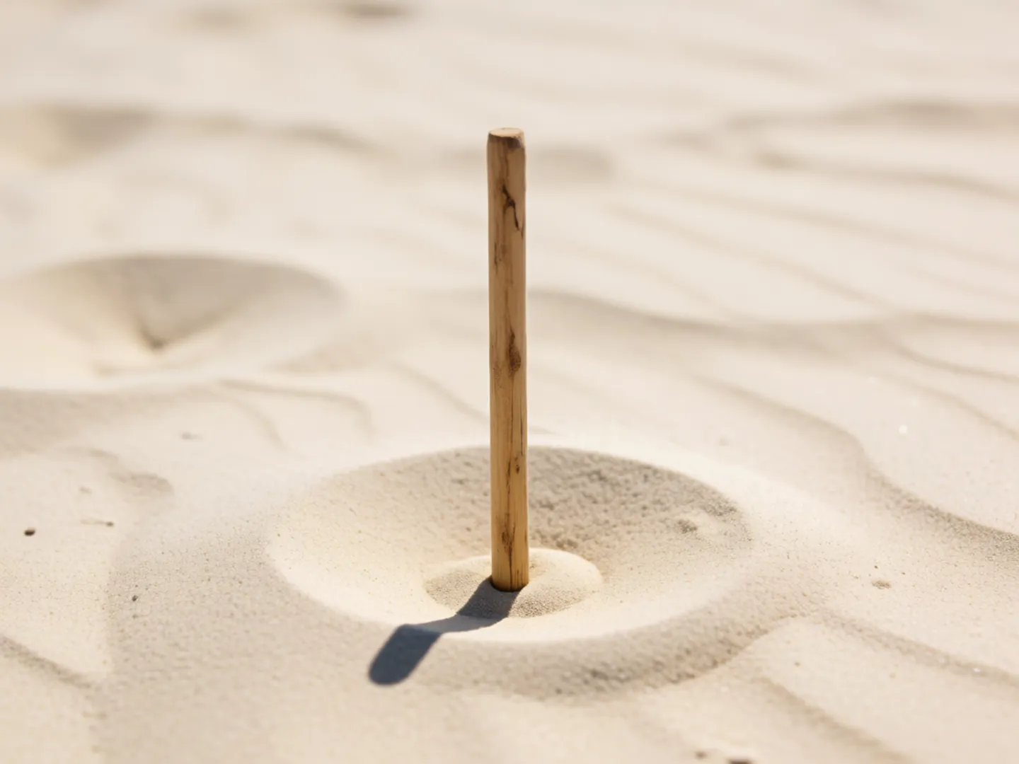
MEASURE THE WORLD WITH A SHADOW
The Linda Hall Library's account of Eratosthenes shows how little he needed: a shadow, a known distance and some geometry.
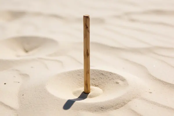
At noon on the longest day, the Sun shone straight down at Syene (modern Aswan): a vertical stick cast no shadow.
At Alexandria, at the same moment, a vertical stick did cast a shadow. Its angle was 7.2 degrees, one fiftieth of a full circle.
The distance from Alexandria to Syene was reported as 5,000 stadia.
Multiply 5,000 stadia by 360 ÷ 7.2 to get 250,000 stadia. With a stadium of about a tenth of a mile, that is about 25,000 miles around.
TWO NUMBERS WORTH KNOWING
One figure for the shape of the whole planet,
one for what it does to a mountain top.
≈ 21 km
Equatorial radius minus polar radius
NASA's Earth fact sheet lists 6,378.137 km at the equator and 6,356.752 km at the poles, a flattening of 0.003353.
THE BULGE · NASA
2,072 m+
Chimborazo's summit beyond Everest's, from the centre
NOAA says the summit of Chimborazo in Ecuador is over 2,072 metres farther from Earth's centre than the peak of Everest, because of the equatorial bulge.
PEAK DISTANCE · NOAA
The 21 km figure is the difference between the two NASA radii. NOAA describes Chimborazo as the closest point on Earth to the stars.
A QUICK HEIGHT CHECK
Pick a height to see what it is measured from. The bar shows how much the Earth's uneven shape changes the answer.
Mountain figures from NOAA; British map heights from Ordnance Survey.
HEIGHTS ON BRITISH MAPS
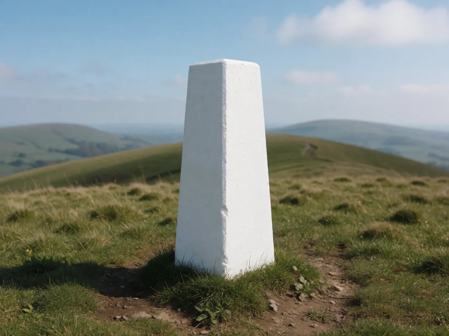
Ordnance Survey heights are measured from mean sea level at Newlyn, near Penzance, worked out from continuous tide readings between 1915 and 1921. About 200 fundamental bench marks across Britain carry that height inland.
GPS works differently: it measures height above a smooth ellipsoid. OS converts it using its geoid model OSGM15. When the models were updated, heights on mainland Britain changed by about 2.5 cm on average, enough to lift one hill, Calf Top, just into mountain status.
Questions
No. NASA lists an equatorial radius of 6,378.137 km and a polar radius of 6,356.752 km, so the Earth is slightly wider at the equator. NOAA says this comes from the long-term effects of its rotation.
NOAA describes it as a model of global mean sea level: the bumpy surface a still ocean would settle into under gravity, extended under the continents. It defines zero elevation for measuring heights.
No. Everest is the highest point above sea level at 8,848 m, but NOAA says the summit of Chimborazo in Ecuador is over 2,072 m farther from the centre because it sits near the equatorial bulge.
GPS gives height above a mathematical ellipsoid, while Ordnance Survey maps give height above mean sea level at Newlyn. OS uses its OSGM15 geoid model to convert between the two.
Around 220 BCE Eratosthenes compared the noon Sun at Syene and Alexandria. A 7.2-degree shadow angle and a distance of 5,000 stadia gave 250,000 stadia, which the Linda Hall Library says is just about right.
Updated
ABOUT THIS NAME
doodleshape.com is part of the DoodleSale portfolio. It isn't in an auction right now, but you can ask about leasing it.